Trip planner · Getting here
Getting here, and what to expect.
The drive in on a real map and a planner for your travel day and your week. Everything we wish every guest knew the week before they came. Hunting? The gear checklist lives on the hunting page.
- ~90 min
- From COS Airport
- 6 mi
- Final gravel
- 8,500′
- Lodge elevation
- No cell
- Past Broadmoor
Where you’re headed
The drive in, on a real map.
The actual road route from Colorado Springs Airport: Lake Avenue to The Broadmoor, up Old Stage Road, onto Gold Camp Road, then USFS 372 to the ranch. Switch between satellite and USGS topo, and tap a step to fly to it.
The drive, turn by turn
Cell service drops past The Broadmoor. Load the GPX into onX, Gaia or your GPS before you leave town. Miles are from I-25 Exit 138, as in the written directions below.
Travel day
Plan the drive around daylight.
Tell us where you’re flying in and when. We’ll lay out the drive, the sunset at the ranch that day, and the latest landing that still gets you up the gravel before dark.
Mountain time. Sunset is computed for the ranch’s coordinates.
Pick a date and a time.
Your week
Then plan the days.
Pick a hunt, a cattle-drive day, fly fishing or a ranch stay, and a rough window. The planner drafts a day-by-day itinerary, and you can send it to the ranch for real dates and a line-item quote.
Getting to Elk Glade
Important: Do not rely on GPS past The Broadmoor. Cell service drops and GPS may mislead. Follow these directions carefully.
The Elk Glade iPhone app has its own offline turn-by-turn for this route, so it keeps guiding you past the last cell signal.
iPhone app · coming soon to the App StoreFrom I-25 Exit 138 (Circle Drive)
- Go west to The Broadmoor (3.0 miles)
- Turn left on Lake Avenue / Pourtales (0.3 miles)
- Veer right to Mirada Road
- Veer right to W. Cheyenne Mountain Boulevard (0.6 miles)
- Cross Penrose Zoo Road to Old Stage Road (0.8 miles)
On Old Stage Road
- Pass Emerald Valley (5.6 miles in)
- Fork left at Gold Camp Road
- Pass Bear Trap Ranch
- Pass Wye Campground
- After Penrose-Rosemont Reservoir, take first left (USFS 372)
- Go right at fork to H.C. Rathke gate
Final Segment
- H.C. Rathke gate (20.0 miles in)
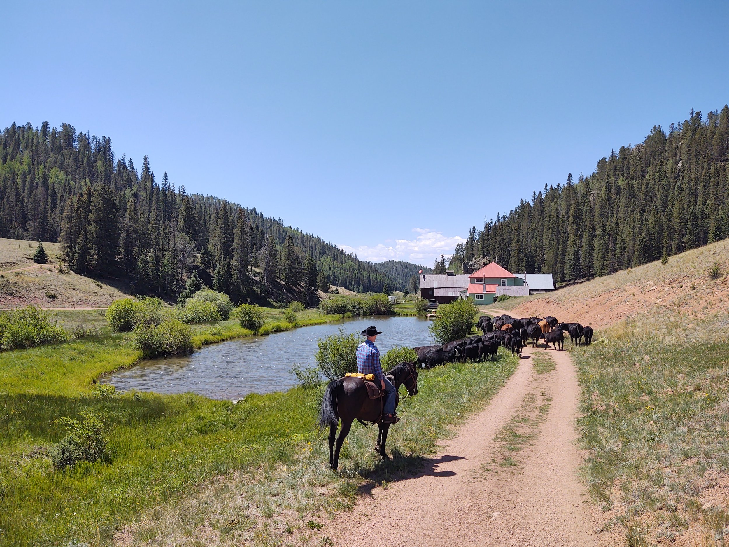
- Rathke Ranch with green house (1.7 miles past gate)
Coordinates & Info
- Ranch Coordinates
- 38.69467 N, 104.98589 W
- Google Plus Code
- M2W7+2H Colorado Springs, Colorado
- Address
- 13780 CR 8, Victor, CO 80860
Call or contact us before you depart.